|
|
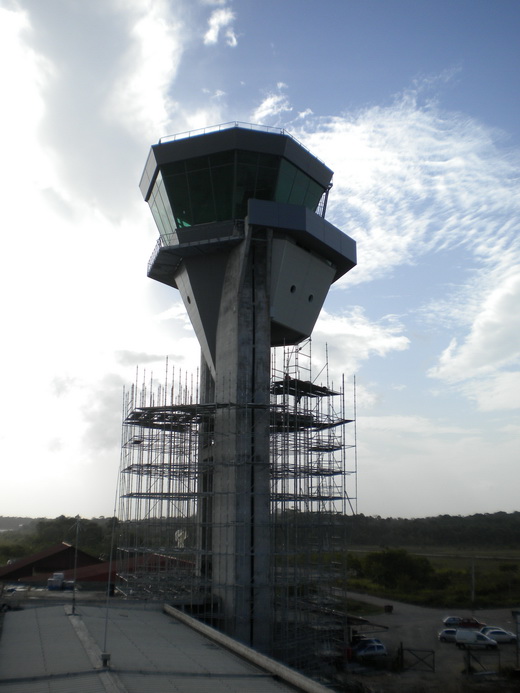
Cayenne – Félix Eboué Airport |
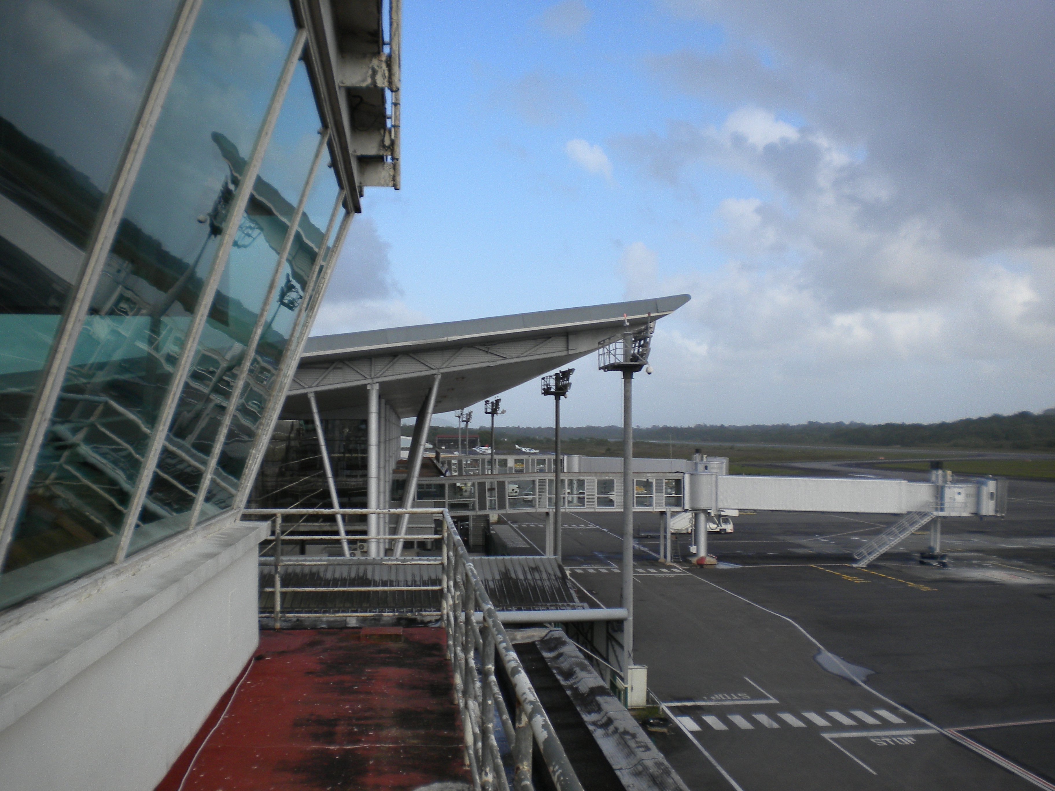
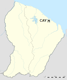
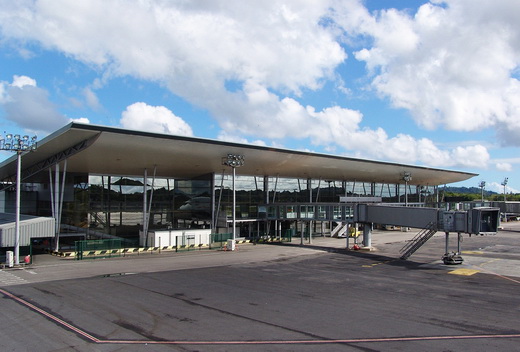
Cayenne – Félix Eboué Airport (French: Aéroport de Cayenne – Félix Eboué) (IATA: CAY, ICAO: SOCA) is French Guiana’s main international airport. It is located near the commune of Matoury, 13 km (8 mi) southwest of French Guiana’s capital city of Cayenne. It is managed by the Chamber of Commerce and Industry of French Guyana (CCI Guyane).
Air Guyane Express has its headquarters on the airport property.
|
Cayenne – Félix Eboué Airport
formerly Rochambeau Airport
|
|
|
|
| Summary |
| Airport type |
Public |
| Operator |
CCI Guyane |
| Serves |
Cayenne, French Guiana, France |
| Location |
Matoury |
| Elevation AMSL |
24 ft / 7 m |
| Coordinates |
04°49′11″N
52°21′43″W |
| Map |
Location in French Guiana
|
| Runways |
| Direction |
Length |
Surface |
| m |
ft |
| 08/26 |
3,200 |
10,499 |
Asphalt |
|
| Statistics (2018) |
| Passengers |
538,782 |
| Passenger traffic change |
+ 4.7% |
|
History
The first airfield at Cayenne, called «Gallion,» was built in 1943 in ten months by the U.S. Army Air Corps as a base allowing bombers to reach Africa. Though quickly abandoned upon the completion of the new airport, it can still be found very close to the aerodrome.
The new airport was first given the name «Rochambeau» in reference to Jean-Baptiste Donatien de Vimeur, comte de Rochambeau, commander-in-chief of the French troops in the American Revolutionary War. It was purchased by France in 1949.
This name was controversial because the airport’s namesake’s son, Donatien-Marie-Joseph de Vimeur, vicomte de Rochambeau, harshly repressed the Haitian Revolution during the Saint-Domingue expedition. Christiane Taubira, then-Member of the National Assembly of France for Guiana, requested in 1999 that the name be changed. Multiple proposals were submitted, including Cépérou, a seventeenth-century indigenous chief. It was finally renamed Félix Éboué Airport in 2012, the change becoming official in January of that year. The code for the airport remains CAY.
Félix Eboué Airport serves approximately 400,000 passengers per year.
Facilities
The airport has an elevation of 24 feet (7 m) above mean sea level. It has one paved runway, designated 08/26, which measures 3,200 by 45 metres (10,499 ft × 148 ft). It is open to public air traffic and international air traffic and is classified as Category A of section D.222-2 of the Code of Civil Aviation and classified SSLIA in category 7 (rank A). The terminal has an area of 12,000 square metres.
The Cayenne non-directional beacon (Ident: FXC) and VOR-DME (Ident: CYR) are located on the field.
Airlines and destinations
| Destinations |
| Air Caraïbes |
Paris–Orly |
| Air France |
Fort-de-France, Pointe-à-Pitre, Port-au-Prince, Paris–Orly |
| Air Guyane |
Grand Santi, Maripasoula, Saint-Laurent du Maroni, Saül |
| Azul Brazilian Airlines |
Belém, Fortaleza |
Statistics
Passengers
| 2000 |
2005 |
2006 |
2007 |
2008 |
2009 |
2010 |
2011 |
2012 |
| 457 168 |
375 844 |
374 394 |
386 979 |
385 142 |
400 025 |
423 849 |
435 440 |
495 994 |
The above content comes from Wikipedia and is published under free licenses – click here to read more.
| General Info
|
| Country |
French Guiana
|
| ICAO ID |
SOCA
|
| Time |
UTC-3
|
| Latitude |
4.819808
04° 49' 11.31" N
|
| Longitude |
-52.360447
052° 21' 37.61" W
|
| Elevation |
26 feet
8 meters
|
| Type |
Civil
|
| Magnetic Variation |
018° W (01/06)
|
| Operating Agency |
CIVIL GOVERNMENT, (LANDING FEES AND DIPLOMATIC CLEARANCE MAY BE REQUIRED)
|
| Near City |
Cayenne
|
| International Clearance Status |
Airport of Entry
|
| Communications
|
| TWR |
118.1
|
ATIS
1000-2200Z
|
132.2
|
| APP |
119.9
|
| Runways
|
| ID |
Dimensions |
Surface |
PCN |
ILS
|
| 08/26 |
10486 x 148 feet
3196 x 45 meters |
ASPHALT |
082FBWU |
NO
|
| Navaids
|
| Type |
ID |
Name |
Channel |
Freq |
Distance From Field |
Bearing From Navaid
|
| VOR-DME |
CYR |
CAYENNE |
106Y |
115.95 |
At Field |
-
|
| NDB |
FXC |
CAYENNE |
- |
327 |
At Field |
-
|
| Supplies/Equipment
|
| Fuel |
Jet A1, without icing nhibitor.
100/130 octane gasoline, leaded, MIL-L-5572F (GREEN)
|
| Remarks
|
| CAUTION |
Fst 5990' of Rwy 08 has a LCN value of 98. Fst 4508' of Rwy 26 has a LCN value of 78. Vis fr twr for final apch Rwy 26 obst by trml bldg. Vis fr twr for twy Echo obst. Trees 170 ft in hgt, 262 4199 ft fr thld Rwy 08. Hill 662' in hgt, 6.7 NM 081 fr thld Rwy 26. Trees 36' in hgt, 094 1082' fr thld Rwy 26.
|
| FUEL |
Avbl 0900-0000Z Mon-Wed; 0900-2300Z Thu, Sat; 0900-0100Z Fri; 1000-0100Z Sun. (NC-100, A1)
|
| RSTD |
180 turn on rwy by acft ovr 12,000 lb proh exc in turnaround areas. Intmed turnaround area proh for use by acft ovr 120,000 lb. Flt ovr the city of Matoury 3NMENE and ovr the Remire prison 5NM ENE proh.
|
The content above was published at Airports-Worldwide.com in 2020.
We don't guarantee the information is fresh and accurate. The data may be wrong or outdated.
For more up-to-date information please refer to other sources.
|
|