 |
 |
|
||||
|
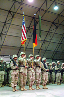
Images and information placed above are from
http://www.130thengineers.army.mil/
Runway 10/283500 x 80 feet
|
||||||||||||||||||||||||||||||||||||||||||||||||||||||||||||||||||||||||||||||||||||||||||||||||||||||||||||||||||||||||||||||||||||||||||||||||||||||||||||||||||||||||||||||
| Runway 10 | |
|---|---|
| Surface | ASPHALT |
| True Heading | 102.0 |
| Latitude | 49.634444 49° 38' 04.00" N |
| Longitude | 11.760278 011° 45' 37.00" E |
| Elevation | 1353.0 feet 412 meters |
| Slope | 0.0° |
| Landing Distance | 3500 feet 1067 meters |
| Takeoff Distance | 3500 feet 1067 meters |
| Lighting System | MIRL |
| Runway 28 | |
|---|---|
| Surface | ASPHALT |
| True Heading | 282.0 |
| Latitude | 49.632500 49° 37' 57.00" N |
| Longitude | 11.774444 011° 46' 28.00" E |
| Elevation | 1353.0 feet 412 meters |
| Slope | 0.0° |
| Landing Distance | 3500 feet 1067 meters |
| Takeoff Distance | 3500 feet 1067 meters |
| Lighting System | MIRL |
| GRAFENWOHR | |||||
|---|---|---|---|---|---|
| Type | ID | Channel | Freq | Country | State |
| TACAN | GRF | 055X | - | Germany | - |
| Latitude | Longitude | Airport |
| 49.691278 49° 41' 28.60" N |
11.938300 011° 56' 17.88" E |
ETIC |
The content above was published at Airports-Worldwide.com in 2005.
We don't guarantee the information is fresh and accurate. The data may be wrong or outdated.
For more up-to-date information please refer to other sources.

 |
|
Copyright 2004-2026 © by Airports-Worldwide.com, Vyshenskoho st. 36, Lviv 79010, Ukraine Legal Disclaimer |
 Airfield
Military USAR (US Army) 4 km NW Vilseck
Airfield
Military USAR (US Army) 4 km NW Vilseck