|
|
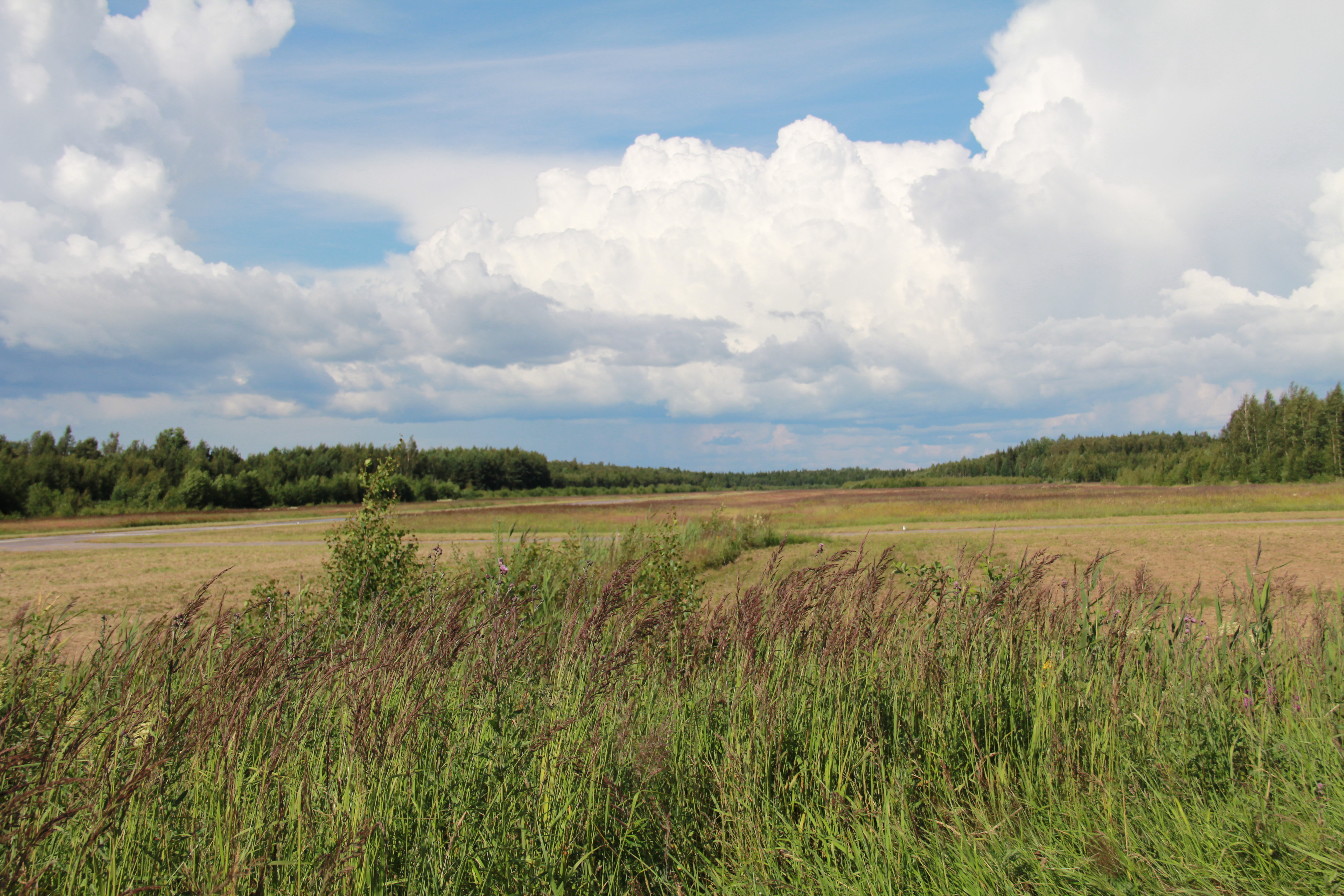
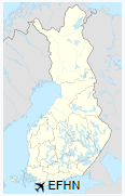
Hanko Airfield is the southernmost airfield in Finland. It is located in Hanko, about 8 kilometres (5 mi) east of Hanko city centre.
|
Hanko Airfield
Hangon lentokenttä
Hangö flygfält
|
|
|
|
| Summary |
| Operator |
Hangon Lentokerho ry |
| Location |
Hanko, Finland |
| Elevation AMSL |
20 ft / 6 m |
| Coordinates |
59°50′44″N
023°04′56″E |
| Website |
hangonlentokerho.fi |
| Map |
|
|
| Runways |
| Direction |
Length |
Surface |
| m |
ft |
| 03/21 |
1,600 |
5,249 |
asphalt/grass |
|
The above content comes from Wikipedia and is published under free licenses – click here to read more.
| General Info
|
| Country |
Finland
|
| ICAO ID |
EFHN
|
| Time |
UTC+2(+3DT)
|
| Latitude |
59.848864
59° 50' 55.91" N
|
| Longitude |
23.083583
023° 05' 00.90" E
|
| Elevation |
20 feet
6 meters
|
| Magnetic Variation |
006° E (01/06)
|
| Operating Agency |
CIVIL GOVERNMENT, (LANDING FEES AND DIPLOMATIC CLEARANCE MAY BE REQUIRED)
|
| Operating Hours |
NO OPERATING HOURS LISTED
|
| Daylight Saving Time |
Last Sunday in March to last Sunday in October
|
| Runways
|
| ID |
Dimensions |
Surface |
PCN |
ILS
|
| 03/21 |
5249 x 59 feet
1600 x 18 meters |
ASPHALT |
- |
NO
|
| Supplies/Equipment
|
| Fuel |
Unknown fuel type or whether there is any fuel.
|
| Remarks
|
| CAUTION |
Gldr act with winch launches to 2700' AGL.
|
| OPR HOURS |
Opr HX.
|
The content above was published at Airports-Worldwide.com in 2020.
We don't guarantee the information is fresh and accurate. The data may be wrong or outdated.
For more up-to-date information please refer to other sources.
|
|