 |
|
Coordinates: 46°54′30″N 006°19′45″E / 46.90833°N 6.32917°E / 46.90833; 6.32917
| Pontarlier Airport |
 |
| IATA: none – ICAO: LFSP |
| Summary |
| Airport type |
Civil |
| Owner/Operator |
Town of Pontarlier |
| Serves |
Pontarlier |
| Location |
France |
| Elevation AMSL |
2683 ft / 818 m |
| Coordinates |
46°54′30″N 006°19′45″E / 46.90833°N 6.32917°E / 46.90833; 6.32917 |
| Website |
http://aeroclub-pontarlier.org |
| Runways |
| Direction |
Length |
Surface |
| ft |
m |
| 02/20 |
3280 |
1000 |
Asphalt |
| 02/20 |
2805 |
855 |
Grass |
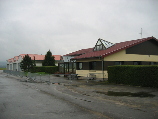
Pontarlier Airport (ICAO: LFSP) is a municipal airport located near Pontarlier in the department of Doubs, region of Franche-Comté, France. It is managed by the town of Pontarlier. HistoryEquipmentsList of the users based on the platform
- Pontarlier Aéroclub (Piiloting Lesson)
The above content comes from Wikipedia and is published under free licenses – click here to read more.
| General Info
|
| Country |
France
|
| ICAO ID |
LFSP
|
| Time |
UTC+1(+2DT)
|
| Latitude |
46.903958
46° 54' 14.25" N
|
| Longitude |
6.327367
006° 19' 38.52" E
|
| Elevation |
2683 feet
818 meters
|
| Magnetic Variation |
000° E (01/06)
|
| Operating Agency |
CIVIL GOVERNMENT, (LANDING FEES AND DIPLOMATIC CLEARANCE MAY BE REQUIRED)
|
| Operating Hours |
NO OPERATING HOURS LISTED
|
| Daylight Saving Time |
Last Sunday in March to last Sunday in October
|
| Runways
|
| ID |
Dimensions |
Surface |
PCN |
ILS
|
| 02/20 |
3277 x 98 feet
999 x 30 meters |
ASPHALT |
- |
NO
|
| Supplies/Equipment
|
| Fuel |
100/130 MIL Spec, low lead, aviation gasoline (BLUE)
|
| Remarks
|
| CSTMS/AG/IMG |
CSTMS avbl SR-30-SS+30, O/R 12 hr PN.
|
| FUEL |
Avbl SR-30-SS+30, 2 hr PN. (NC-100LL)
|
| OPR HOURS |
Opr HX.
|
The content above was published at Airports-Worldwide.com in 2010.
We don't guarantee the information is fresh and accurate. The data may be wrong or outdated.
For more up-to-date information please refer to other sources.
|
|


