|
 |
|
||||
|
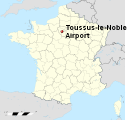
Toussus-le-Noble Airport is a regional airport in France (IATA: TNF, ICAO: LFPN). It supports general aviation with no commercial airline service scheduled. Many French governmental aircraft are hangared and maintained at the airport and it used primarily for government travel and charters, as well as private aircraft.
Toussus Le Noble Airport
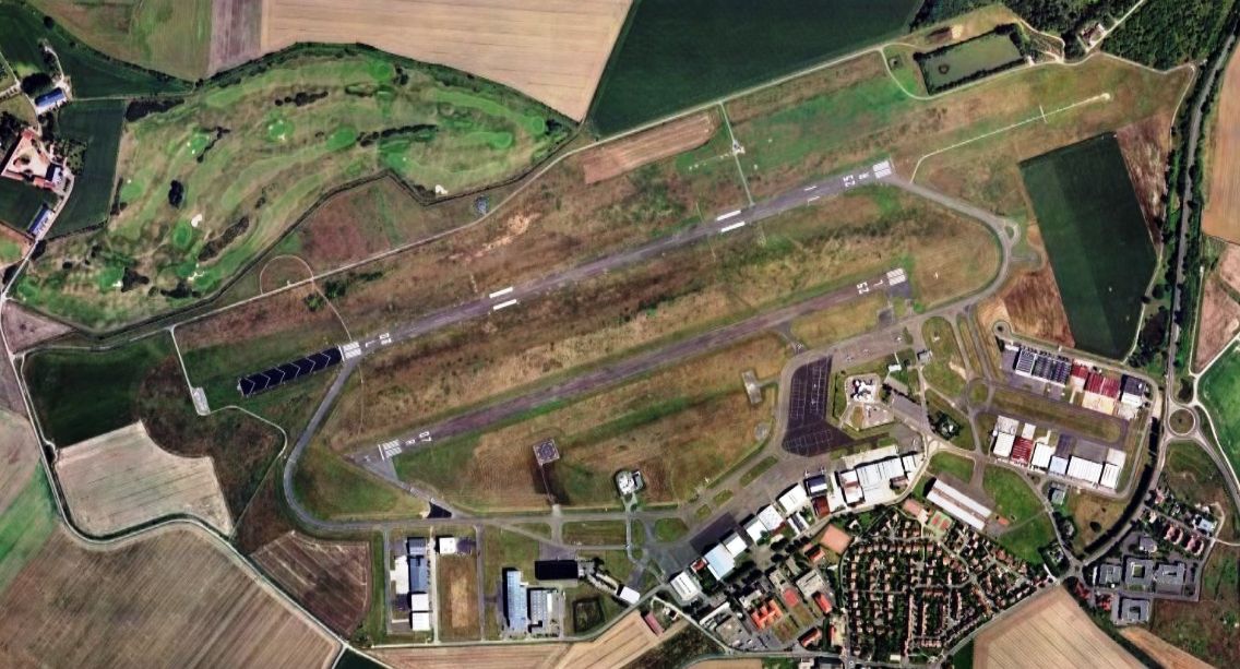
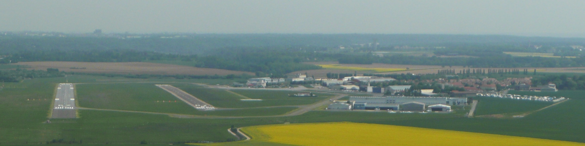
Toussus Le Noble Airport - Vue générale de l'aérodrome (face à l'ouest)
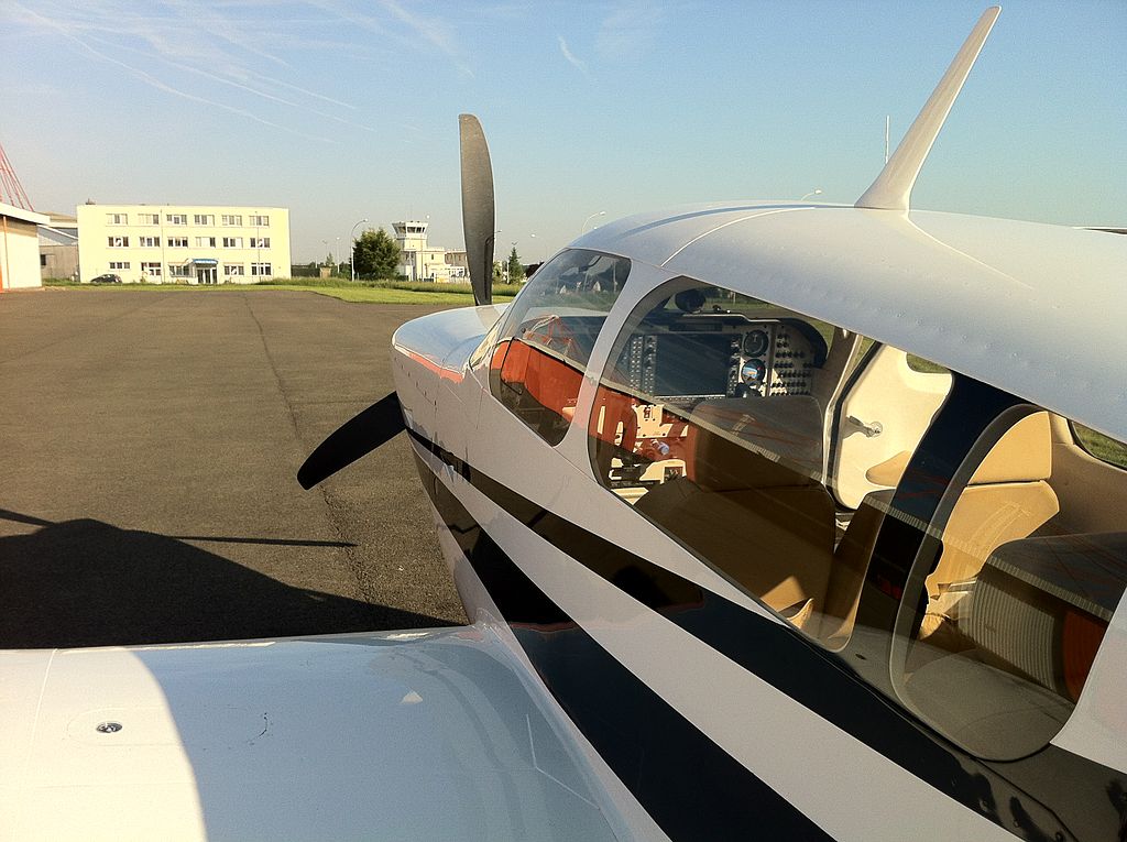
Toussus Le Noble Airport - La tour vue depuis le parking Farman
Toussus Le Noble Airport - Entrée de l'aéroport de Toussus-le-Noble.
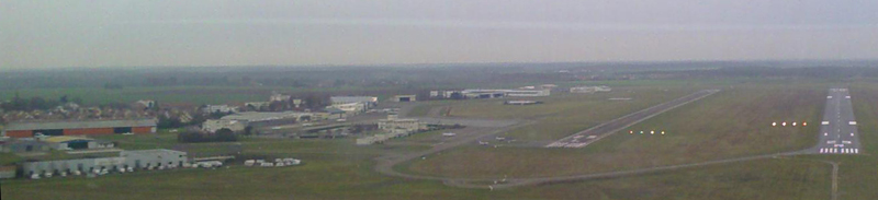
Toussus Le Noble Airport - Vue générale de l'aérodrome (face à l'est) et du village HistoryThe airport is one of the oldest in France, being established in 1907. It was used by the French Air Force during World War I and also during the early part (1939–1940) of World War II. It was seized by the Germans in June 1940 during the Battle of France, and was used by Sturzkampfgeschwader 77 (SKG 77), a Luftwaffe dive bombing wing, during the Battle of Britain flying Junkers Ju 87 "Stukas" and later Dornier Do 17 light bombers between December 1940 and March 1941. When SKG 77 moved out, the airfield not actively used, but remained an auxiliary dispersal airfield by several units, but not having any active units or aircraft assigned. It was liberated by Allied ground forces about 28 August 1944 during the Northern France Campaign. Almost immediately, the United States Army Air Force IX Engineering Command 818th Engineer Aviation Battalion cleared the airport of mines and destroyed Luftwaffe aircraft. In addition, a 4000' all-weather temporary Square-Mesh (SMT) runway was quickly overlaid over the existing turf runway, being aligned 07/25. Fortunately, little battle damage was sustained, and Toussus-le-Noble Airport became a USAAF Ninth Air Force combat airfield, designated as "A-46" about 30 August, two days after its liberation. Under American control, the Ninth Air Force assigned the 67th Tactical Reconnaissance Group to the airport which flew a variety of photo-reconnaissance aircraft until the end of September 1944. The combat unit then moved east along with the Allied lines and the airport became a resupply and casualty evacuation airfield, as well as liaison aircraft assigned to Allied headquarters in Paris. The Americans returned full control of the airport to French authorities on 8 August 1945. After the war, the military parking apron, temporary buildings, along with various aircraft wreckage were removed. The temporary SMT runway was made permanent and resurfaced (07R/25L), and a second runway (07L/25R) along with expanding ground facilities was constructed. The above content comes from Wikipedia and is published under free licenses – click here to read more.
The content above was published at Airports-Worldwide.com in 2010. |
|||||||||||||||||||||||||||||||||||||||||||||||||||||||||||||||||||||||||||||||||||||||||||||||||||||||||||||||||||||||||||||||||||||||||||||||||||||||||||||||||||||||

 |
|
Copyright 2004-2026 © by Airports-Worldwide.com, Vyshenskoho st. 36, Lviv 79010, Ukraine Legal Disclaimer |