 |
|
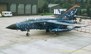
Nörvenich (Düren) Military Airfield |
 German
Airforce fighter-bomber base German
Airforce fighter-bomber base
ICAO: ETNN
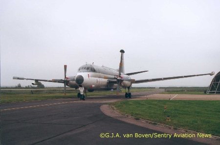
Images and information placed
above are from http://www.sentry.hangar1.net/trip13.html
We thank them for the data!
| General Info
|
| Country |
Germany
|
| ICAO ID |
ETNN
|
| Time |
UTC+1(+2DT)
|
| Latitude |
50.831167
50° 49' 52.20" N
|
| Longitude |
6.658167
006° 39' 29.40" E
|
| Elevation |
386 feet
118 meters
|
| Type |
Military
|
| Magnetic Variation |
000° E (01/05)
|
| Beacon |
Yes
|
| Operating Agency |
GERMAN AIR FORCE
|
| Operating Hours |
SEE REMARKS FOR OPERATING HOURS OR COMMUNICATIONS FOR POSSIBLE HOURS
|
| International Clearance Status |
Airport of Entry
|
| Daylight Savings Time |
Last Sunday in March to last Sunday in October
|
| Communications
|
| TWR |
122.1
136.2
142.9
257.8
389.95
|
| RADAR |
123.3
129.85
138.2
279.25
341.8
|
| LANGEN RADAR |
128.5
277.35
|
| Runways
|
ID
|
Dimensions |
Surface |
PCN |
ILS
|
| 07/25 |
8003 x 148 feet
2439 x 45 meters |
ASPHALT |
- |
NO
|
| Navaids
|
| Type |
ID |
Name |
Channel |
Freq |
Distance From Field |
Bearing From Navaid
|
| VORTAC |
NOR |
NORVENICH |
109X |
116.2 |
1.5 NM |
247.6
|
| Supplies/Equipment
|
| Fuel |
JP-8, SemiKeroscene MIL Spec T-83133, without icing inhibitor
|
| Oil |
O-147, MIL L 6085A Lubrication Oil, Instrument Synthetic
O-148, MIL L 7808 (Synthetic Base), Turboprop/Turboshaft Engine
O-156, MIL L 23699 (Synthetic Base)Turboprop/Turboshaft Engine
|
| Other Fluids |
PRESAIR, Air Compressors rated 3,000PSI or more
HPOX, High pressure oxygen servicing
LOX, Liquid oxygen servicing
|
| Remarks
|
| A-GEAR |
HOOK 44B-2L(B) O/R 15 min.
|
| CAUTION |
Lgt acft and gldr act Sat, Sun and hol btn SR-SS. Lgtd telecom twr 484' 119 2694' fr ARP. Lgtd RADAR mast 463' 239 4859' fr ARP. Lgtd telecom twr 457' 343 889' fr ARP.
|
| FLUID |
PRESAIR HPOX LOX
|
| FUEL |
J8
|
| JASU |
1(G-40) 1(GPE-160) 1(GSU-160)
|
| OIL |
O-123-133-147-148-156
|
| OPR HOURS |
Opr 0700-1600Z++ Mon-Thu, 0700-1100Z++ Fri, clsd hol.
|
| RSTD |
PPR 3 hr. Avoid ovft gldr ldg strip 300' parl to and S of rwy. No practice apch 1100-1230Z++.
|
Runway 07/25
8003 x 148 feet
2439 x 45 meters
| Runway 07
|
| Surface |
ASPHALT
|
| True Heading |
067.0
|
| Latitude |
50.826822
50° 49' 36.56" N
|
| Longitude |
6.642219
006° 38' 31.99" E
|
| Elevation |
384.0 feet
117 meters
|
| Slope |
-0.6°
|
| Landing Distance |
8003 feet
2439 meters
|
| Takeoff Distance |
8905 feet
2714 meters
|
| Overrun Length |
902 feet
275 meters
|
| Overrun Surface |
CONCRETE.
|
| Lighting System |
SF
LIRL
BP
PAPI |
| Runway 25
|
| Surface |
ASPHALT
|
| True Heading |
247.0
|
| Latitude |
50.835500
50° 50' 07.80" N
|
| Longitude |
6.674000
006° 40' 26.40" E
|
| Elevation |
333.0 feet
101 meters
|
| Slope |
0.6°
|
| Landing Distance |
8003 feet
2439 meters
|
| Takeoff Distance |
8905 feet
2714 meters
|
| Overrun Length |
902 feet
275 meters
|
| Overrun Surface |
CONCRETE.
|
| Lighting System |
SF
LIRL
BP
PAPI |
Navaids
| NORVENICH
|
| Type |
ID |
Channel |
Freq |
Country |
State
|
| VORTAC |
NOR |
109X |
116.2 |
Germany |
-
|
| Latitude |
Longitude |
Airport
|
50.840658
50° 50' 26.37" N |
6.694150
006° 41' 38.94" E |
ETNN |
The content above was published at Airports-Worldwide.com in 2005.
We don't guarantee the information is fresh and accurate. The data may be wrong or outdated.
For more up-to-date information please refer to other sources.
|
|


