|
|
 |
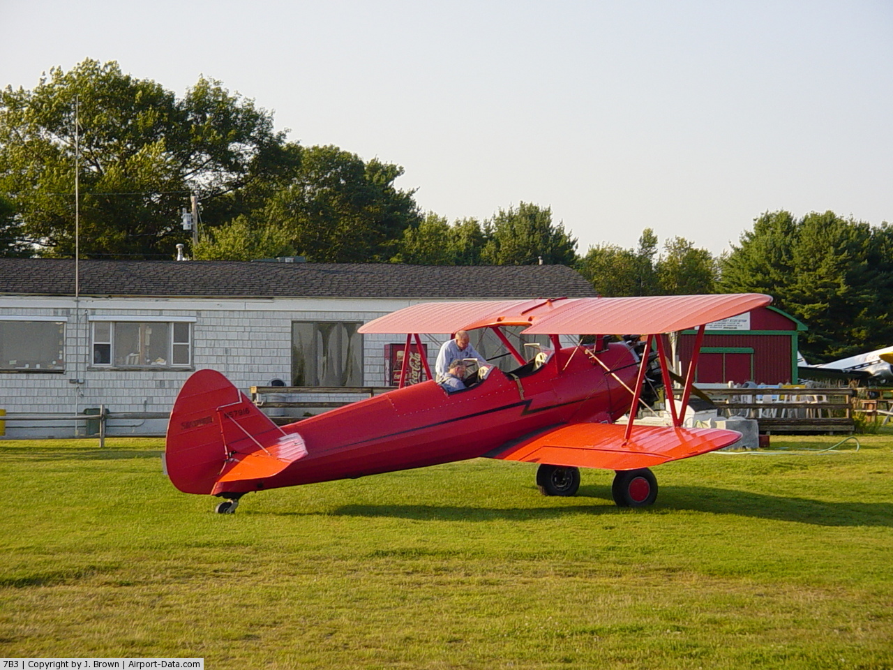
(Click on the photo to enlarge) |
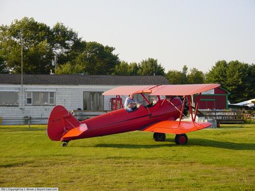 |
(Click on the photo to enlarge) |
Location & QuickFacts
| FAA Information Effective: | 2008-09-25 |
| Airport Identifier: | 7B3 |
| Airport Status: | Operational |
| Longitude/Latitude: | 070-49-43.1910W/42-57-45.3220N
-70.828664/42.962589 (Estimated) |
| Elevation: | 93 ft / 28.35 m (Estimated) |
| Land: | 37 acres |
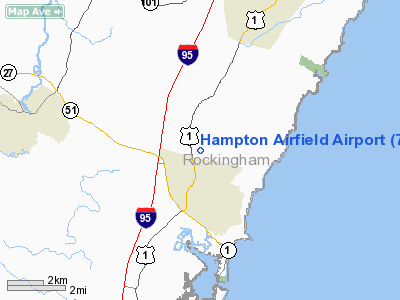
| From nearest city: | 2 nautical miles N of Hampton, NH |
| Location: | Rockingham County, NH |
| Magnetic Variation: | 16W (1985) |
Owner & Manager
| Ownership: | Privately owned |
| Owner: | Pea Patch Properties, Llc |
| Address: | 20 Mill Road
North Hampton, NH 03862 |
| Phone number: | 603-964-6749 |
| Manager: | George Forrest |
| Address: | Hampton Airfield, Route 1
North Hampton, NH 03862 |
| Phone number: | 603-964-6749 |
Airport Operations and Facilities
| Airport Use: | Open to public |
| Wind indicator: | Yes |
| Segmented Circle: | No |
| Control Tower: | No |
| Lighting Schedule: | RDO-CTL
ACTVT LIRL RY 02/20 - 122.4 OR CALL 603-964-6749/8833. |
| Landing fee charge: | No |
| Sectional chart: | New York |
| Region: | ANE - New England |
| Boundary ARTCC: | ZBW - Boston |
| Tie-in FSS: | BGR - Bangor |
| FSS on Airport: | No |
| FSS Toll Free: | 1-800-WX-BRIEF |
| NOTAMs Facility: | BGR (NOTAM-d service avaliable) |
Airport Communications
| CTAF: | 122.800 |
| Unicom: | 122.800 |
Airport Services
| Fuel available: | 100LLMOGAS |
| Airframe Repair: | MAJOR |
| Power Plant Repair: | MINOR |
| Bottled Oxygen: | NONE |
| Bulk Oxygen: | NONE |
Runway Information
Runway 02/20
| Dimension: | 2100 x 170 ft / 640.1 x 51.8 m |
| Surface: | TURF, Good Condition |
| Edge Lights: | Non-standard lighting system
NSTD LIRL; 100 FT FM RY CNTRLN |
| |
Runway 02 |
Runway 20 |
| Traffic Pattern: | Left | Left |
| Displaced threshold: | 0.00 ft | 300.00 ft
RWY 20 NSTD DSPLCD THR; SINGLE RED/GREEN LIGHT EACH SIDE. THRESHOLD SITING SURFACE 10:1 SLOPE. |
| Runway End Identifier: | No | No |
| Centerline Lights: | No | No |
| Touchdown Lights: | No | No |
| Obstruction: | 41 ft trees, 99.0 ft from runway, 89 ft left of centerline, 3:1 slope to clear | 4 ft fence, 0.0 ft from runway |
|
Radio Navigation Aids
| ID |
Type |
Name |
Ch |
Freq |
Var |
Dist |
| BVY | FAN MARKER | Beverly | | | | 21.8 nm |
| LCI | FAN MARKER | Laconia | | | | 45.1 nm |
| PH | MARINE NDB | Portland Lhb-p | | 301.00 | 17W | 46.8 nm |
| ESG | NDB | Rollins | | 260.00 | 16W | 15.5 nm |
| TOF | NDB | Topsfield | | 269.00 | 16W | 21.4 nm |
| DRY | NDB | Derry | | 338.00 | 16W | 25.6 nm |
| CO | NDB | Epsom | | 216.00 | 16W | 29.0 nm |
| LQ | NDB | Lyndy | | 382.00 | 16W | 31.3 nm |
| SKR | NDB | Shaker Hill | | 251.00 | 16W | 34.2 nm |
| AS | NDB | Chern | | 359.00 | 16W | 35.1 nm |
| LC | NDB | Blnap | | 328.00 | 16W | 46.4 nm |
| FIT | NDB | Fitchburg | | 365.00 | 15W | 47.9 nm |
| NZW | TACAN | South Weymouth | 061X | | 15W | 49.1 nm |
| PSM | VOR/DME | Pease | 112X | 116.50 | 16W | 7.3 nm |
| LWM | VOR/DME | Lawrence | 072X | 112.50 | 15W | 17.8 nm |
| MHT | VOR/DME | Manchester | 091X | 114.40 | 15W | 24.5 nm |
| ENE | VORTAC | Kennebunk | 118X | 117.10 | 17W | 29.4 nm |
| CON | VORTAC | Concord | 076X | 112.90 | 15W | 36.2 nm |
| BOS | VORTAC | Boston | 074X | 112.70 | 16W | 37.1 nm |
| BED | VOT | Laurence G Hanscom Fld | | 110.00 | | 36.0 nm |
| BOS | VOT | Boston Logan Intl | | 111.00 | | 36.2 nm |
| PWM | VOT | Portland Intl Jetport | | 111.00 | | 46.6 nm |
Remarks
- RY 02/20 HAS +30 FT BRUSH ALONG E SIDE OF RY.
- WILDLIFE ON & INVOF ARPT.
- ESTAB PRIOR 1959.
Images and information placed above are from
http://www.airport-data.com/airport/7B3/
We thank them for the data!
| General Info
|
| Country |
United States
|
| State |
NEW HAMPSHIRE
|
| FAA ID |
7B3
|
| Latitude |
42-57-45.322N
|
| Longitude |
070-49-43.191W
|
| Elevation |
93 feet
|
| Near City |
HAMPTON
|
We don't guarantee the information is fresh and accurate. The data may
be wrong or outdated.
For more up-to-date information please refer to other sources.
|
|