 |
|

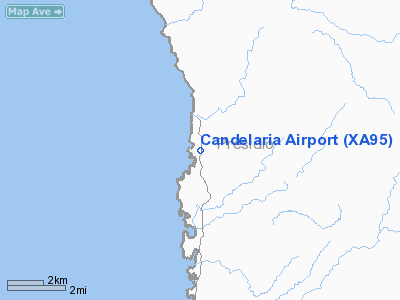
Location & QuickFacts
| FAA Information Effective: | 2008-09-25 |
| Airport Identifier: | XA95 |
| Airport Status: | Operational |
| Longitude/Latitude: | 104-40-57.0000W/30-08-58.0000N
-104.682500/30.149444 (Estimated) |
| Elevation: | 2913 ft / 887.88 m (Estimated) |
| Land: | 1 acres |
| From nearest city: | 1 nautical miles N of Candelaria, TX |
| Location: | Presidio County, TX |
| Magnetic Variation: | () |
Owner & Manager
| Ownership: | Privately owned |
| Owner: | El Rancho Pensado |
| Address: | Hc 65 Box 159a
Marfa, TX 76943 |
| Phone number: | 432-229-3176 |
| Manager: | K R Matthews |
| Address: | 5096 N Fm 129
Santo, TX 76472 |
| Phone number: | 817-629-3176 |
Airport Operations and Facilities
| Airport Use: | Private |
| Wind indicator: | Yes |
| Control Tower: | No |
| Sectional chart: | El Paso |
| Region: | ASW - Southwest |
| Boundary ARTCC: | ZAB - Albuquerque |
| Tie-in FSS: | SJT - San Angelo |
| FSS Toll Free: | 1-800-WX-BRIEF |
Runway Information
Runway 18/36
| Dimension: | 1900 x 50 ft / 579.1 x 15.2 m |
| Surface: | GRVL, Fair Condition |
| |
Runway 18 |
Runway 36 |
| Traffic Pattern: | Left | Left |
| Obstruction: | 4 ft fence | |
|
Radio Navigation Aids
| ID |
Type |
Name |
Ch |
Freq |
Var |
Dist |
| MRF | VOR/DME | Marfa | 106X | 115.90 | 11E | 38.8 nm |
Remarks
Images and information placed above are from
http://www.airport-data.com/airport/XA95/
We thank them for the data!
|
 |


