|
|
Sheboygan County Memorial Airport |
| Sheboygan County Memorial Airport |
| IATA: SBM – ICAO: KSBM |
| Summary |
| Airport type |
Public |
| Operator |
Sheboygan County |
| Location |
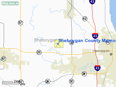
Sheboygan, Wisconsin |
| Elevation AMSL |
755 ft / 230.1 m |
| Coordinates |
43°46′11″N 87°51′05″W / 43.76972°N 87.85139°W / 43.76972; -87.85139Coordinates: 43°46′11″N 87°51′05″W / 43.76972°N 87.85139°W / 43.76972; -87.85139 |
| Runways |
| Direction |
Length |
Surface |
| ft |
m |
| 3/21 |
5,402 |
1,647 |
Concrete |
| 13/31 |
5,000 |
1,524 |
Asphalt |
Sheboygan County Memorial Airport (IATA: SBM, ICAO: KSBM) is a public, non-towered airport located in the Town of Sheboygan Falls in Sheboygan County in the U.S. state of Wisconsin, three miles (5 km) northwest of Sheboygan. The airport covers 737 acres (298 ha) and has two runways.
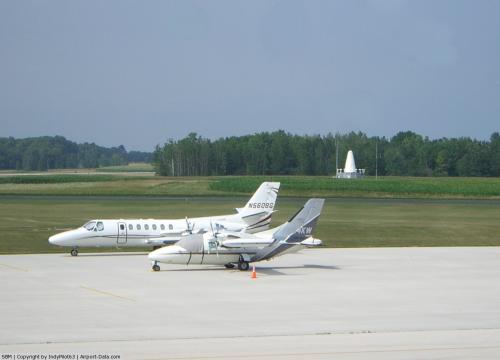
Sheboygan County Memorial has approximately 66,000 operations per year, thanks mostly to the large demographic of general aviation pilots in the area. This number ranks it number ten in the state for most takeoffs and landings. There are roughly 134 planes based at the airport, including the corporate planes of corporations such as Aero-metric, Kohler Company, Bemis Manufacturing Company, Plenco, and Richardson Bros. The airport is also currently undergoing a large expansion project. Completion of this project is planned for 2008, and will extend the runways, create more hangar space, and facilitate more use of the airport.
At different times of the year, Sheboygan County Memorial also serves a major link to local attractions such as Road America and the county's world-class golf courses, such as Blackwolf Run and Whistling Straits.
The above content comes from Wikipedia and is published under free licenses – click here to read more.
 |
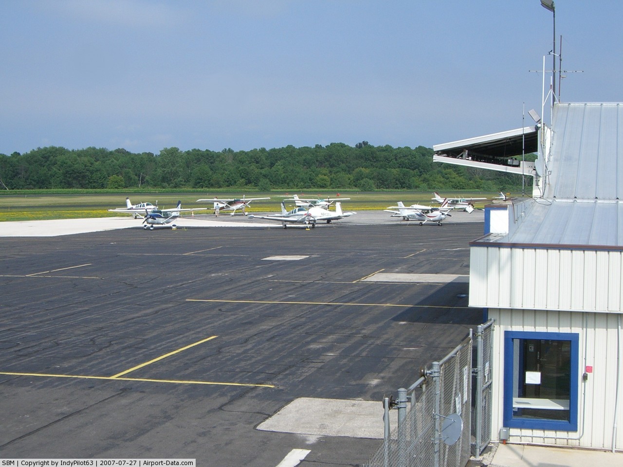
(Click on the photo to enlarge) |
 |
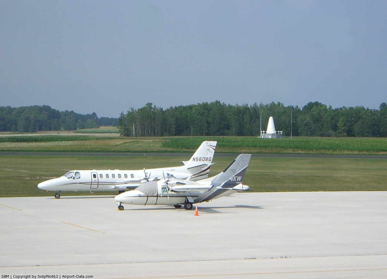
(Click on the photo to enlarge) |
 |
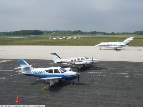
(Click on the photo to enlarge) |
Location & QuickFacts
| FAA Information Effective: | 2008-09-25 |
| Airport Identifier: | SBM |
| Airport Status: | Operational |
| Longitude/Latitude: | 087-51-08.0165W/43-46-09.1503N
-87.852227/43.769208 (Estimated) |
| Elevation: | 754 ft / 229.82 m (Surveyed) |
| Land: | 737 acres |
| From nearest city: | 3 nautical miles NW of Sheboygan, WI |
| Location: | Sheboygan County, WI |
| Magnetic Variation: | 02W (1990) |
Owner & Manager
| Ownership: | Publicly owned |
| Owner: | Sheboygan County |
| Address: | N6180 Resource Drive
Sheboygan Falls, WI 53085 |
| Phone number: | 920-459-3003 |
| Manager: | Charles W Mayer |
| Address: | N6180 Resource Dr.
Sheboygan Falls, WI 53085 |
| Phone number: | 920-467-2978 |
Airport Operations and Facilities
| Airport Use: | Open to public |
| Wind indicator: | Yes |
| Segmented Circle: | Yes |
| Control Tower: | No |
| Lighting Schedule: | DUSK-DAWN
HIRL RY 03/21 & MIRL RY 13/31 PRESET LOW INTST; TO INCR INTST & ACTVT PAPI RY 21; REIL RY 03 & MALSR RY 21 - CTAF. |
| Beacon Color: | Clear-Green (lighted land airport) |
| Landing fee charge: | No |
| Sectional chart: | Chicago |
| Region: | AGL - Great Lakes |
| Traffic Pattern Alt: | 800 ft |
| Boundary ARTCC: | ZAU - Chicago |
| Tie-in FSS: | GRB - Green Bay |
| FSS on Airport: | No |
| FSS Toll Free: | 1-800-WX-BRIEF |
| NOTAMs Facility: | SBM (NOTAM-d service avaliable) |
| Federal Agreements: | NGY |
Airport Communications
| CTAF: | 122.700 |
| Unicom: | 122.700 |
Airport Services
| Fuel available: | 100LLA |
| Airframe Repair: | MAJOR |
| Power Plant Repair: | MAJOR |
| Bottled Oxygen: | NONE |
| Bulk Oxygen: | NONE |
Runway Information
Runway 03/21
| Dimension: | 6000 x 100 ft / 1828.8 x 30.5 m |
| Surface: | CONC, Good Condition |
| Surface Treatment: | Saw-cut or plastic Grooved |
| Weight Limit: | Single wheel: 60000 lbs.
Dual wheel: 60000 lbs. |
| Edge Lights: | High |
| |
Runway 03 |
Runway 21 |
| Longitude: | 087-51-31.3499W | 087-50-44.2632W |
| Latitude: | 43-45-47.4310N | 43-46-35.8766N |
| Elevation: | 0.00 ft | 738.00 ft |
| Alignment: | 35 | 127 |
| ILS Type: | | ILS/DME
|
| Traffic Pattern: | Left | Left |
| Markings: | Precision instrument, Good Condition | Precision instrument, Good Condition |
| Crossing Height: | 52.00 ft | 43.00 ft |
| VASI: | 4-light PAPI on right side | 4-light PAPI on left side |
| Visual Glide Angle: | 3.00° | 3.00° |
| Approach lights: | | MALSR
OTS INDEFLY. |
| Runway End Identifier: | Yes
OTS INDEFLY. | |
| Obstruction: | 46 ft trees, 1790.0 ft from runway, 100 ft right of centerline, 34:1 slope to clear | , 50:1 slope to clear |
|
Runway 13/31
| Dimension: | 5000 x 75 ft / 1524.0 x 22.9 m |
| Surface: | ASPH, Good Condition |
| Weight Limit: | Single wheel: 23000 lbs.
Dual wheel: 32000 lbs. |
| Edge Lights: | Medium |
| |
Runway 13 |
Runway 31 |
| Longitude: | 087-51-34.6006W | 087-50-41.9364W |
| Latitude: | 43-46-21.8117N | 43-45-50.4805N |
| Elevation: | 754.00 ft | 739.00 ft |
| Alignment: | 127 | 127 |
| Traffic Pattern: | Left | Left |
| Markings: | Non-precision instrument, Fair Condition | Non-precision instrument, Fair Condition |
| Crossing Height: | 40.00 ft | 40.00 ft |
| VASI: | 4-light PAPI on left side
RY 13 PAPI OTS INDEFLY. | 4-light PAPI on left side |
| Visual Glide Angle: | 3.00° | 3.00° |
| Obstruction: | 71 ft trees, 2280.0 ft from runway, 165 ft right of centerline, 29:1 slope to clear | 47 ft trees, 1800.0 ft from runway, 440 ft right of centerline, 34:1 slope to clear |
|
Radio Navigation Aids
| ID |
Type |
Name |
Ch |
Freq |
Var |
Dist |
| LLE | NDB | Kettle Moraine | | 329.00 | 01W | 23.9 nm |
| HXF | NDB | Hartford | | 200.00 | 00E | 34.7 nm |
| AQ | NDB | Kooky | | 407.00 | 02W | 35.8 nm |
| SG | NDB | Depre | | 332.00 | 02W | 39.7 nm |
| UNU | NDB | Juneau | | 344.00 | 01W | 42.3 nm |
| BL | NDB | Yanks | | 260.00 | 02W | 42.6 nm |
| UES | NDB | Waukesha | | 359.00 | 01W | 46.6 nm |
| BJB | VOR | West Bend | | 109.80 | 01W | 24.0 nm |
| FAH | VOR/DME | Falls | 37X | 110.00 | 02W | 0.2 nm |
| MTW | VOR/DME | Manitowoc | 047X | 111.00 | 02W | 22.8 nm |
| LJT | VOR/DME | Timmerman | 072X | 112.50 | 02W | 40.5 nm |
| OSH | VORTAC | Oshkosh | 055X | 111.80 | 02E | 33.3 nm |
| BAE | VORTAC | Badger | 111X | 116.40 | 02E | 43.5 nm |
| GRB | VORTAC | Green Bay | 102X | 115.50 | 01E | 49.5 nm |
| MKE | VOT | Milwaukee | | 109.00 | | 49.4 nm |
Remarks
- ULTRALIGHT ACTVTY ON & IN VCNTY OF ARPT.
- WATERFOWL & DEER ON & INVOF ARPT.
- GCO AVBL ON FREQ 121.725 THRU FLT SVCS.
- TWY A CLSD INDEFLY.
- FOR SERVICES CALL 920-467-6151 - FREQ 129.85 OR 920-467-0370 - FREQ 131.35.
Images and information placed above are from
http://www.airport-data.com/airport/SBM/
We thank them for the data!
| General Info
|
| Country |
United States
|
| State |
WISCONSIN
|
| FAA ID |
SBM
|
| Latitude |
43-46-10.259N
|
| Longitude |
087-51-06.806W
|
| Elevation |
754 feet
|
| Near City |
SHEBOYGAN
|
We don't guarantee the information is fresh and accurate. The data may
be wrong or outdated.
For more up-to-date information please refer to other sources.
|
|